

Geopark Way
Geopark Way
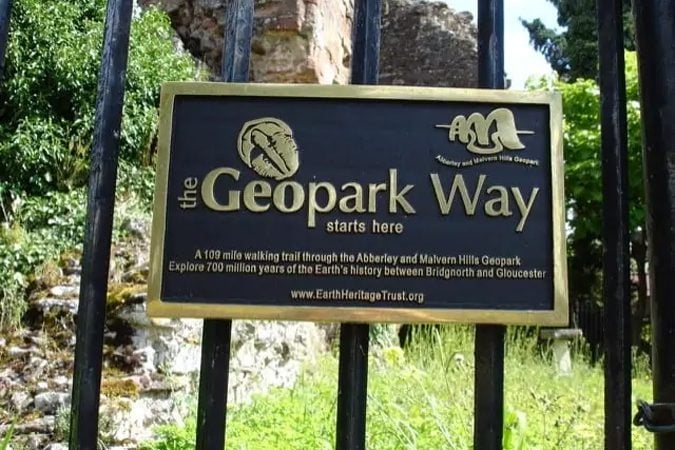
Meandering its way for 109 miles through the Abberley and Malvern Hills Geopark from Bridgnorth to Gloucester, the Geopark Way passes through stunning countryside as it explores 700 million years of geological history.
The trail offers varied walking alongside rivers, through forests, along ridges and across valley floors; all with majestic views to match.
Passing through an assortment of habitats there is a plethora of wildlife adding to the occasion. Quaint villages and towns dot the route bringing further elements of exploration and enchantment.
Varied terrain, riverside, cross fields, woodland paths, highlighting the rocks and lanscape of the area.
Towns, villages and significant sites on the Geopark Way include Bridgnorth, Quatford, Dudmaston Hall, Hampton Loade, Alverley, Severn Valley Country Park, Highley, Woodhill, High Green, Kinlet, Wyre Forest, Bewdley, Staffordshire and Worcester Canal, Stourport on Severn, The Burf, Astley, Abberley, Martley, Ankerdine Hill, Alfrick, Old Storridge Common, Great Malvern, Worcester Beacon, Ledbury, Midsummer Hill, Whiteleaved Oak, Bromesberrow, Newent, Clifford’s Mesne, May Hill Village, Ganders Green, River Severn and Gloucester.
Reviews
There are no reviews yet. Be the first one to write one.
Rate and write a review
We are passionate about the local community and its businesses so please note that reviews will only be published if constructive and well-intended.